


AQUACYCLE My Autobiography – How local communities can take an active part in the drawing of action plans for the reuse of my treated effluent

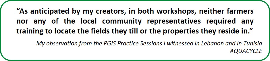
Let me start by explaining the entire process that permitted me to reach this conclusion. Aside from a brainstorming session to gather the viewpoints of farmers and local communities on the reuse of my treated effluent, the workshops in Lebanon and Tunisia also included a Participatory GIS (PGIS) Practice session. The scope of the PGIS Practice session was to demonstrate that it is perfectly feasible for local communities to take an active part in the drawing up of action plans for the reuse of my treated effluent.
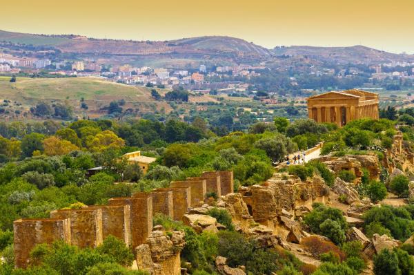
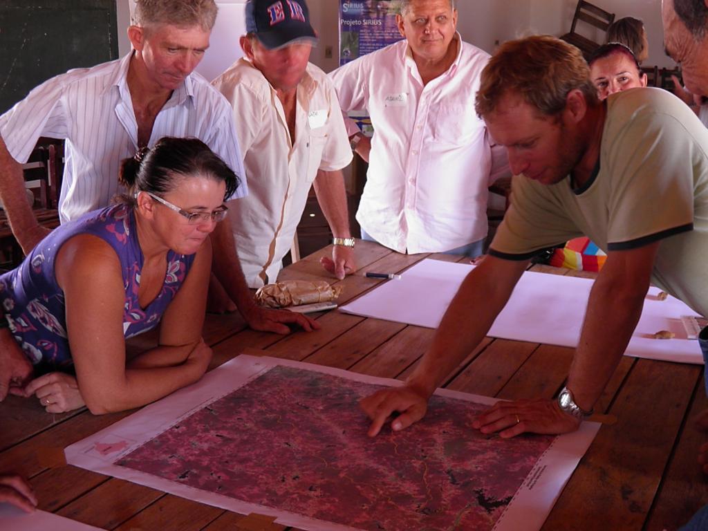
My creators in Malta had successfully mastered this approach in earlier EU funded research projects. In the FP7 funded SIRIUS project, they adapted it to invite local communities in Egypt, Italy, Spain, and Turkey, to draw their vision of a sustainable water future in the agricultural sector. I was particularly fond how the approach had enabled them to resolve a water conflict between neighbouring local communities in Forquilha. The low-income, agrarian area around the town of Forquilha is in north-eastern Brazil, which like the coastal city of Fortaleza enjoys a Mediterranean climate. Representatives of the Brazilian water authorities, present at the PGIS Practice Session, learned why the water retention dam they had constructed ended up serving only the downstream local community. Their upstream counterparts drew the location for a water reservoir that would serve to share the available water in a fair and equitable manner. Within three months of the workshop they had organized, news came through that their wish had come true, and the authorities were taking charge to build the new water reservoir!
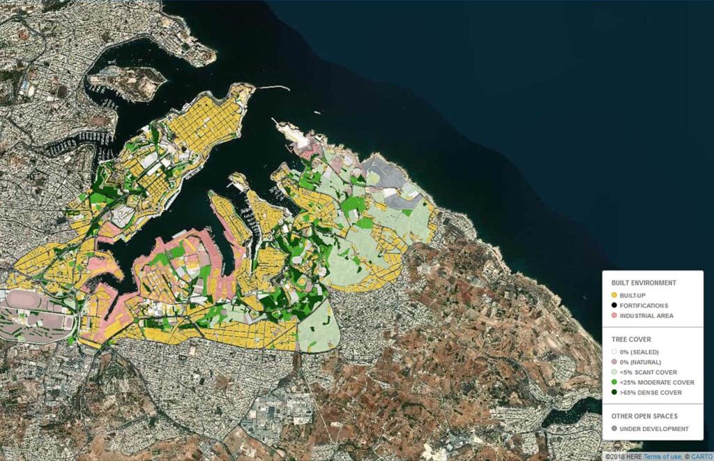
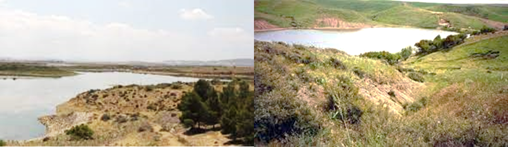
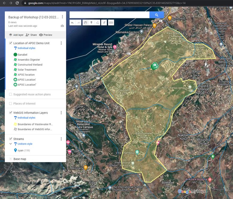
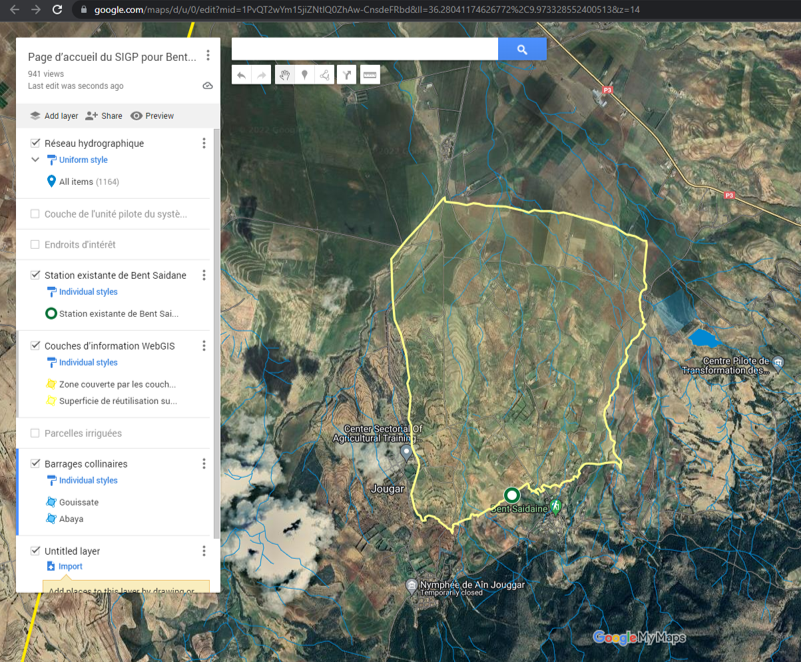
But let me come back to the research conducted under my name. Due to the ongoing travel restrictions IRMCo resolved to organize the training on the use of Participatory GIS (PGIS) through a series of online sessions with their research colleagues in Lebanon and in Tunisia. The main scope of the training was to arrive at so-called PGIS Landing Pages, making use of Google My Maps as a canvas. To facilitate a cross-border understanding of the eventual action plans the local communities would be invited to draw, the PGIS Landing Pages for the respective locations in Lebanon and in Tunisia were designed in a directly similar way. A first layer was asked to depict the planned location of my physical appearance and its components, i.e. an anaerobic digester, one or more constructed wetlands, and a solar raceway pond reactor for disinfection. Another layer was asked to display the surface drainage network and surface water bodies, such as lakes and reservoirs. These layers were encouraged to be illustrated with photos, such as of the hillside lakes around Bent Saidane as shown below.
Every effort was made to give the PGIS Landing Pages the same ‘look’ and ‘feel’ as illustrated below.
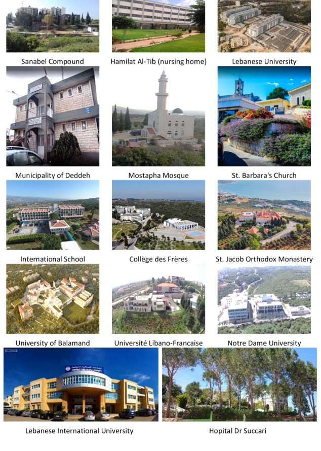
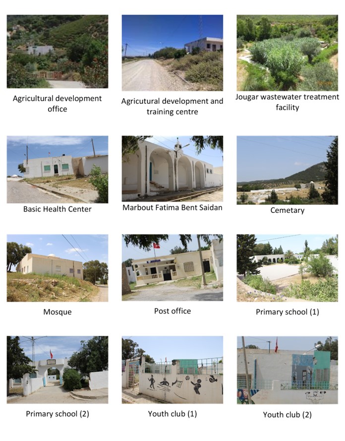
My creators resolved to add a further layer depicting places of interest, be it in the form of archaeological, historical, cultural, and religious sites, the townhall and other buildings of public utility, as well as sites of scenic beauty and other tourist attractions as the case presented itself. This layer was purposely intended to make it as easy as possible to navigate the respective PGIS Landing Pages.
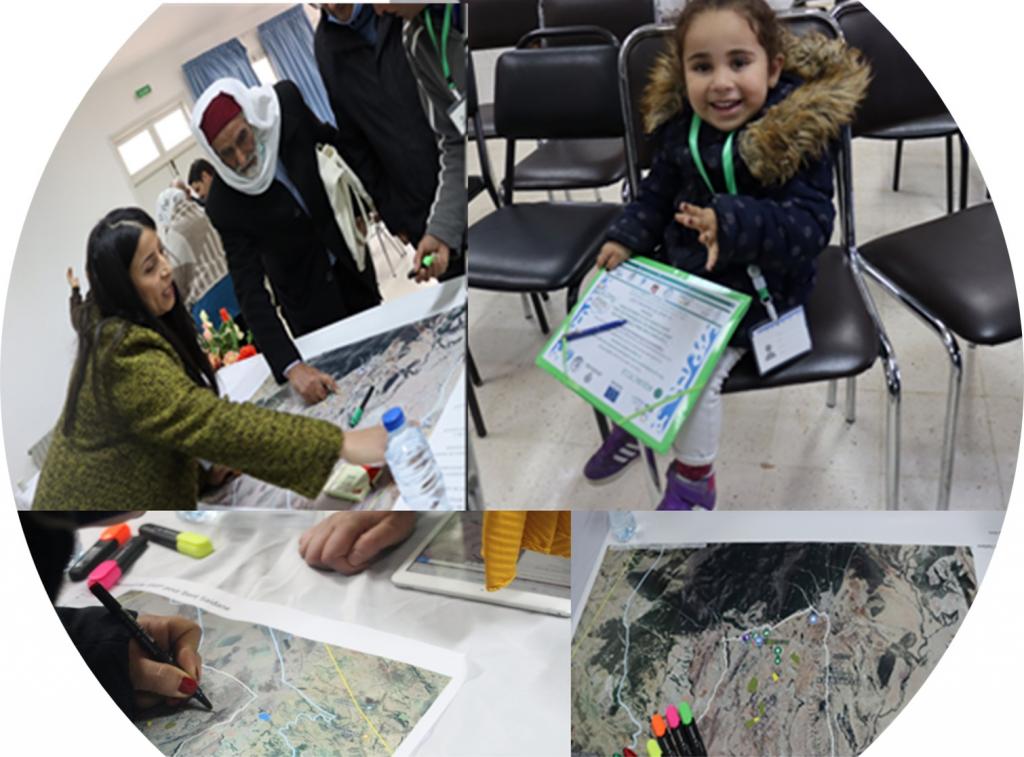
People around the world are for the most part already familiar with Google Maps, be it to find the directions to a particular location or to a nearby restaurant among many other applications. Still, to leave no one behind in the PGIS Practice session, it was opted to also make available a print-out of the PGIS Landing Page at both events. Thus, the participants were given the option to either draw their suggestions for the reuse of treated effluent directly online or on a print-out of a satellite image.
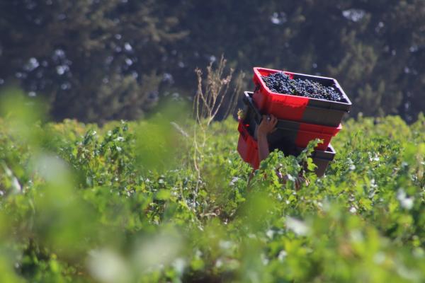
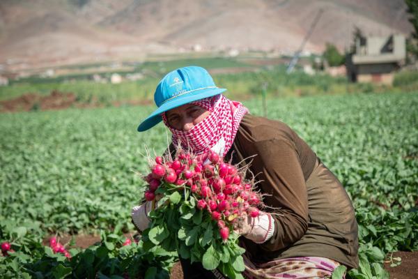
Prior to drawing their suggestions for reuse, the participants were asked about the different types of applications they would wish to use the treated effluent for. These were written out on a whiteboard so all participants could see the suggestions that were being collected. Whereas farmers foremost wished to see the treated effluent used for the cultivation of their crops, local community representatives were encouraged to provide suggestions in respect of urban greening and roadside landscaping. Once the list was considered complete, the participants were invited to assign different colours to the respective applications.
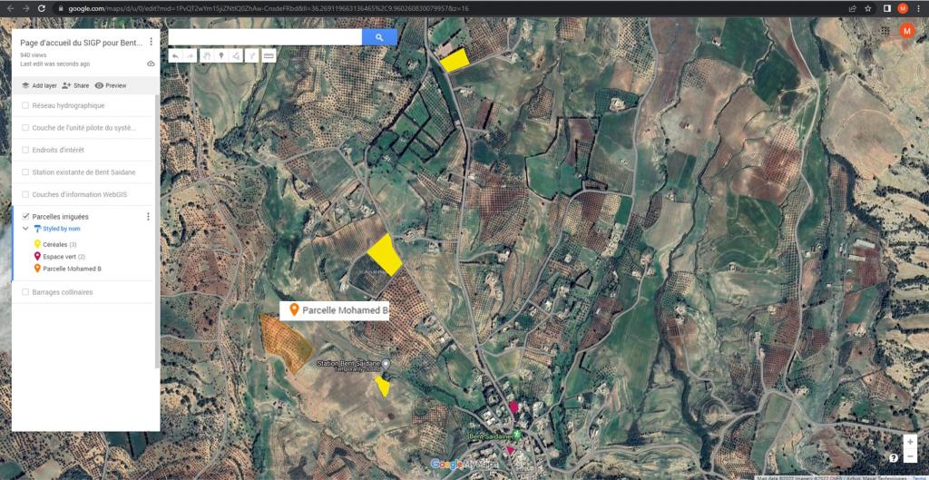
As shown by the below example of online entries, a farmer in Tunisia, rather than specifying the nature of reuse wrote his name, i.e. denoting his ownership, of the tract of land where he wished to avail of the treated effluent for irrigation purposes. Again, this is not an unexpected outcome, it can easily be attributed to people wishing to delineate their ‘property’ and hence their ‘ownership of such property.
Other entries in the same illustration show parcels of land earmarked for the irrigation of cereals (in French, ‘Céréales’, shown in yellow) and for the irrigation of an open space (in red, ‘Espace vert’) in the town of Bent Saidane. Editor’s note: in this illustration the ‘active’ layer is set to the layer depicting the irrigation applications provided by the participants. The other layers in this illustration, such as the layer with the hillside lakes (‘barrages collinaires’) is not active and therefore not displayed.
In both Lebanon and Tunisia, participants expressed their sincere gratitude for having been invited to join the workshop in which they were given the opportunity to actively participate in deciding on the reuse applications of treated domestic wastewater.
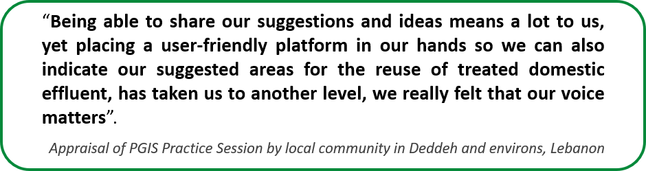
Furthermore, in Lebanon, the participants expressed their appreciation that aside from choosing their suggested areas on the landing page and on a printed satellite image, soon it would become possible to provide their suggestions directly on a dedicated WebGIS platform. The fact that they were able to enter the data by themselves drew their special attention.
The previous entry in AQUACYCLE’s logbook can be accessed through this link.
The first 12 entries in AQUACYCLE’s logbook were published in February 2022, which can be downloaded from this link.