


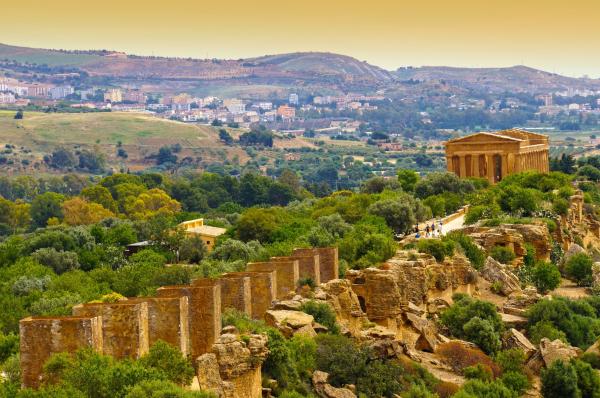

Find out more about Sabina Reatina, an enchanting outdoor Med Pearls destination in Italy
Sabina Reatina, located in the Lazio region, is an area rich in natural, cultural, and gastronomic beauty. Slow travel, meaning traveling slowly and at a relaxed pace, is the ideal way to discover this wonderful region. In this article, find some tips on how to do slow travel in Sabina Reatina. Don't move to a different place every day, choose a home base where you can stay for the duration of your trip. This way, you can focus on discovering the surrounding area without the stress of packing and unpacking every day.
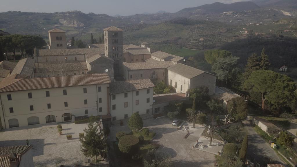
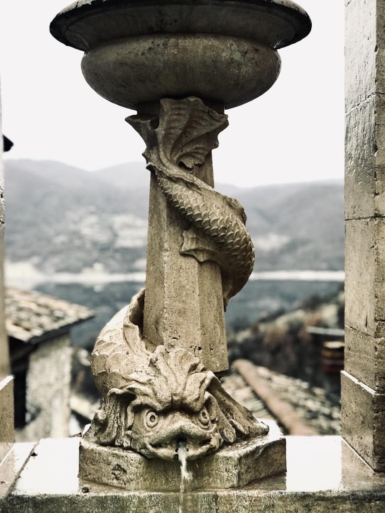
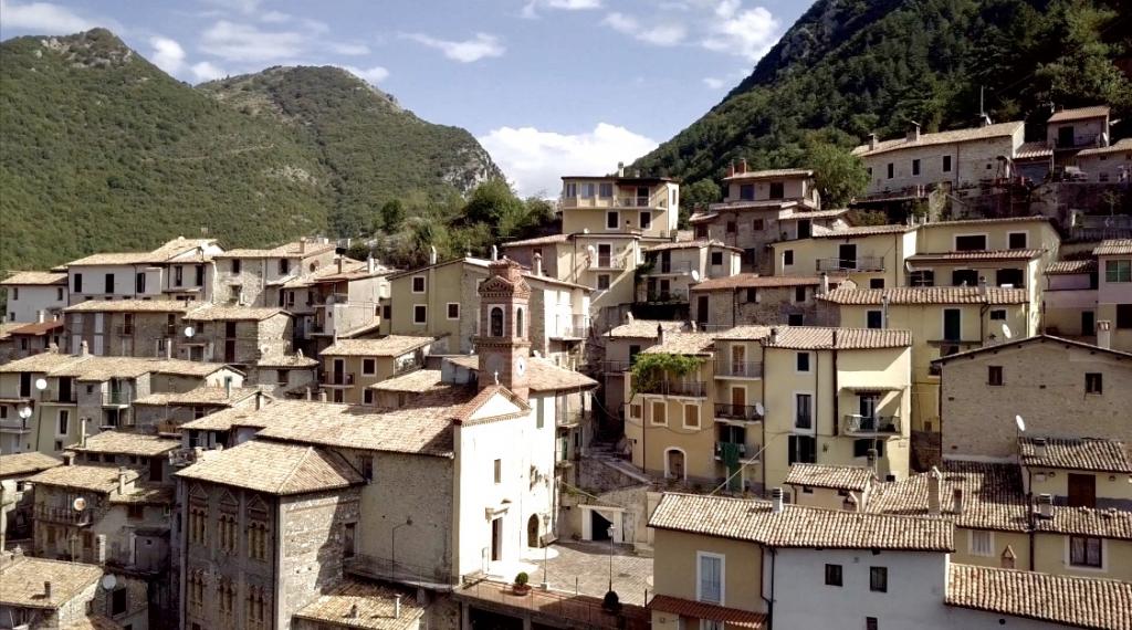
Start by exploring nature: Sabina Reatina is a region full of breathtaking natural landscapes. Dedicate some time to discovering natural parks, reserves, and trails immersed in nature. Don't miss the Nazzano Tevere-Farfa Natural Reserve, the Lucretili Mountains Regional Park, and the Tiber River Park. Visit the villages: Sabina Reatina is characterized by small medieval villages that still preserve the atmosphere of the past. Visit Fara in Sabina, Casperia, Poggio Moiano, Poggio Nativo, and Roccantica and be enchanted by the narrow streets, alleys, squares, and historic buildings.
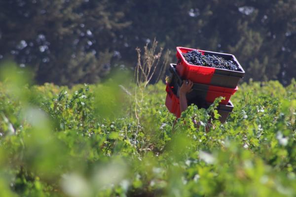
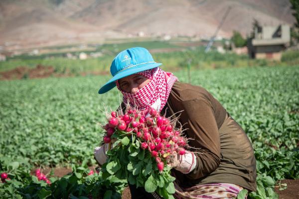
Taste the local cuisine: Sabina Reatina is famous for its traditional cuisine. Try typical dishes such as porchetta, amatriciana pasta, mountain carbonara, beans with pork rind, pizza al taglio, and desserts such as ciambellone and crostata di visciole. Experience authentic activities such as participating in the grape harvest, learning to make cheese, watching wool processing, or participating in local festivals and fairs.
By following these tips, you can experience an authentic and unforgettable slow travel experience in Sabina Reatina. If you want to do it on horseback or by bicycle, here are the most beautiful trails to take: Tiber River Bicycle Trail: this cycling trail follows the course of the Tiber River, offering breathtaking views of the surrounding nature. The route, which winds for about 60 kilometers, is suitable for cyclists of all levels. Lucretili Mountains Trail on horseback: this trail winds through the hills and mountains of Sabina, crossing forests, meadows, and breathtaking landscapes. The route, which can also be tackled on foot or by mountain bike, is suitable for experienced riders, as it has some challenging sections.
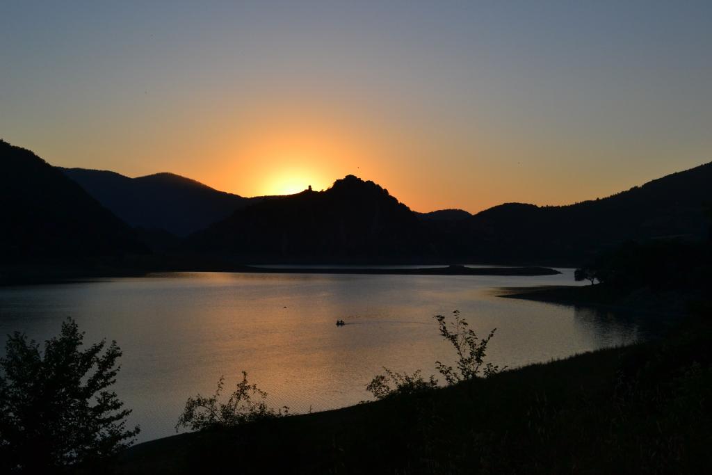
One of the other well-known itineraries of the Lucretili Mountains climbs the steep slope of Mount Gennaro which overlooks Palombara Sabina. A series of comfortable hairpin bends (25 numbered progressively) in the woods leads to the rocks of Morrone della Croce and its clearly visible tower. Before reaching the summit, you will come across the desolate ruins of the cable car arrival and the nearby hotel. The last rocky and exposed stretch leads to the peak characterized by a cross. Near the parking lot (elevation 511 m), there are numerous Storace bushes (Styrax officinalis), locally known as "Mella bianca", a rather rare shrub and symbol of the Lucretili Mountains Regional Park.
Among the best mountain bike trails, we recommend the path to Monte Tancia, with its 1,292 meters, the highest peak in the Sabine Mountains. An excellent opportunity to photograph the Sanctuary of St. Michael the Archangel. This loop trail, suitable for fairly trained athletes, begins on asphalt from Roccantica and continues along the dirt road that leads to Monte Scollato. The five-kilometer ascent has a constant gradient of 15% -20%. After a pleasant ride in the undergrowth, you will reach the Cognolo refuge, and then the CAI trail, which runs halfway up the mountain before descending towards the valley and reaching a huge grassy field. Once you reach the foot of Tancia, an easy trail will take you to the summit.
- Park Trail by Bike: This bike trail crosses the Tiber, Aniene and Farfa river parks, offering spectacular views of the surrounding nature. The route is suitable for cyclists of all levels and winds for about 40 kilometers.
- Francigena Way Horse Trail: This trail follows the ancient pilgrimage routes of the Via Francigena, crossing rural landscapes, medieval villages, and archaeological sites. The path, suitable for experienced riders, is about 100 kilometers long and offers breathtaking views of the Sabina Reatina.
There's also the Path of the Farfa Gorges: this trail follows the course of the Farfa River, crossing canyons, waterfalls, and small natural pools. The waters of the Farfa River are perfect for enthusiasts of canyoning, rafting, and hydrospeed. During the summer, thanks to the daily intense water extraction channeled into the Peschiera Aqueduct combined with the seasonal dryness, the Gorges can be more easily traversed. Starting from Castelnuovo di Farfa with its beautiful ancient village, you descend from via S. Donato to reach the eponymous Paleochristian church; you climb back up through a different path until you meet the CAI 351 trail that leads to the Farfa Gorges. First, you cross the Roman bridge, then on the right, you visit the old mill until you descend onto the riverbed. Finally, you walk through the gorges on the right bank until the exclusive ferrata. You return back over the Roman bridge to descend onto the small beach where it's possible to bathe in the clear waters of the Farfa. In Farfa, visit the famous Abbey, declared a national monument in 1928, a stunning Benedictine convent founded in the 6th century. Thousands of visitors arrive each year at this enchanting place to admire the monastery and basilica, true gems of architecture.

Then, the Tiber Valley Trail: this trail offers spectacular views of the nature and culture of Sabina Reatina. Indeed, the hike is spectacular in discovering one of the most suggestive stretches of the Tiber, whose particularly rugged morphology creates bends and the river takes on sinuous flow characteristics. Starting within the Nazzano Tevere-Farfa Reserve area, some stretches of the right and left banks are covered until reaching the characteristic "Fiasco del Tevere", where the two bends come close to touching, creating a narrowing.
We also recommend the Monte Soratte Trail: this trail, which starts from the village of Sant'Oreste, climbs up to the summit of Monte Soratte, offering breathtaking views of the Tiber valley and the surrounding countryside. The route, which is about 10 kilometers long, can be challenging in some sections. Once at the summit, there is a hermitage with a Dantean inscription and a ring around the massif along a historic trail where it is possible to admire the tanks of the Second World War.
These are just some of the most scenic trails to do in Sabina Reatina. The region offers many other options for lovers of trekking and walks in nature, with routes suitable for all levels and preferences. Sabina Reatina is making progress in the field of sustainable mobility, and there are several options available for eco-friendly travel in the area. Sabina Reatina is well served by a network of public buses that connect the main urban centers. These buses use eco-friendly fuels and offer an eco-friendly alternative to private vehicles. There are many opportunities for bike tours through the beautiful countryside and hills of the area. In some areas, it is possible to rent electric vehicles to explore the area without emitting exhaust fumes.
In general, Sabina Reatina is making significant progress towards greater sustainability in the transport sector, and there are more and more options for sustainable travel. Choosing sustainable modes of transport not only helps reduce environmental impact but also allows you to better appreciate the beauty and tranquility of these splendid natural areas.
By Debora Sanna
Check regularly: www.enicbcmed.eu/projects/med-pearls
And our social media:
@MedPearlsProj - Med Pearls Project (Facebook) - medpearlsproject (Instagram)