


AQUACYCLE explains about use of Participatory GIS in Space for Climate Webinar
In follow-up to an earlier interview which can be accessed here, Eurisy invited Integrated Resources Management Company Ltd (IRMCo) to give a webinar talk on their use of Participatory GIS combined with data derived from satellite imagery.
Follow this link to access a write-up by Eurisy entitled Space data to make the tourism industry sustainable. Note that this write-up also contains the link to the recording of IRMCo’s 15 minutes presentation. A digital copy of the presentation can be downloaded from this website here.
To kick-off his presentation, Dirk De Ketelaere, Senior Researcher at IRMCo, introduced the company’s efforts to promote the use of satellite image derived applications in Malta, which span a period of over 25 years. Since 2017, IRMCo is a member of the Copernicus Academy, a network of public and private entities which, similar to Eurisy, organizes monthly webinars to exchange knowledge about satellite data derived products and services. These webinars also create the opportunity to form new alliances among its members. Dirk then also introduced the company’s successful achievement of combining satellite derived data, products and services with the application of Participatory GIS (PGIS), most notably in the FP7 project Sustainable Irrigation water management and River-basin governance: Implementing User-driven Services (SIRIUS).
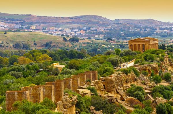
In line with theme ‘Space and Sustainable Tourism’ of the Webinar organized on 7 July 2021, the main focus of his presentation was on sharing the outcomes of the ENI CBC Med funded project Mare Nostrum, entitled Bridging the implementation gap: facilitating cross-border Integrated Coastal Zone Management (ICZM) implementation by lowering legal-institutional barriers in the Mediterranean Sea Basin. In this project, IRMCo invited local communities in Malta’s Grand Harbour to come up with action plans to protect and safeguard the areas green and blue open spaces.
To start with, IRMCo used satellite imagery to identify all the potential ‘natural’ and ‘man-made’ open spaces in the very densely built-up study area. The validation of these areas as being truly open spaces and their characteristics in terms of accessibility, tree cover, level of disturbance or maintenance etc., were then obtained through field surveys. As the field survey progressed, intermediate outcomes were shared with the local communities in a series of workshops. In turn, these workshops enabled the crowdsourcing of suggested eco-heritage trails. These trails connect the ‘green’ and ‘blue’ open spaces with the many sites of cultural and historical interest in Malta’s Grand Harbour. The workshops also created the opportunity to collect the local communities’ aspirations for a better quality of life in a charter. This charter, entitled ‘Local Communities Charter for liveable cultural landscapes in Malta’s Grand Harbour’ together with the proposed eco-heritage trail superimposed on the outcomes of the field survey, as well as a documentary on the project in the Maltese language with subtitles in English, can all be accessed from www.grandharbourcharter.net.
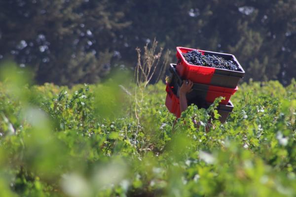
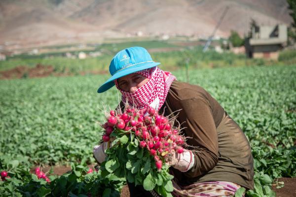
Dirk concluded his presentation with providing a glimpse of how the use of PGIS in AQUACYCLE will enable the crowdsourcing of action plans for the reuse of treated domestic effluent. Furthermore, in AQUACYCLE, the aspirations of the local communities around the pilot demonstration units of an eco-innovative wastewater treatment system in Lebanon, Spain and Tunisia, will feed into a Mediterranean Charter for the safe reuse of treated effluent: All water is too precious to waste!
The Space for Climate Webinar series is organized by Eurisy, a Paris based, non-profit association gathering space agencies, international organisations, research institutions, and private businesses, and dotSpace, a foundation based in the Netherlands which supports potential end-users of satellite applications by leveraging its network to make experience and expertise available.